Interactive maps
The interactive maps on ReidsEngland.com
For every destination, there are actually two ways to peruse all the sights, hotels, restaurants, activities, pubs, and useful planning and practical points of interest (tourist offices, train stations, etc.).
You can, of course, click through the various thematic sections, much like a traditional print guidebook. Or—if you are more visually minded—you can select the Interactive Map and see the locations of all those points of interest at once. (This is also quite handy for finding, say, a lunch spot near a sight, or learn what's close to your hotel.)
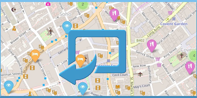
Just click on the "Interactive map" image on the destination's homepage (right above the "Useful links") and you will get the full-sized map. (Yes, I know the map image is always taken from London, but that's just a placeholder; a click will take you to the appropriate map for whatever city you are in.)
It might take a few seconds for the page to load (plotting all those points of interest takes a while), but have patience!
- Streetwise London - Amazingly detailed yet tiny, a foldable and laminated map that slips into your (deeper) pocketPartner
- London A to Z - One of the world's greatest street-by-street maps (pronounced "London A to Zed"). The only publication that lists every tiny alley and dead-end lane of the maze that is London's infrastructure.Partner
- National Geographic London City Map - A London map from the inimitable folks at National Geographic. Good overview and street index.Partner
- London PopOut Map - Intriguing map-based way to peruse London's neighborhoods, transit lines, and theatres.Partner


